 The course was dictated by the natural geography: it took advantage of the contours, avoided the sticky clay of the land below but also the
  thinner, overlying "clay with flints" of the summits. In places a coexisting ridgeway and terrace way can be identified;
  the route followed would have varied with the season, but it would not drop below the upper line of cultivation.
The trackway ran the entire length of the North Downs, leading to and from Folkestone: the pilgrims would have had to turn away from it, north along the valley of the Great Stour
 near Chilham,
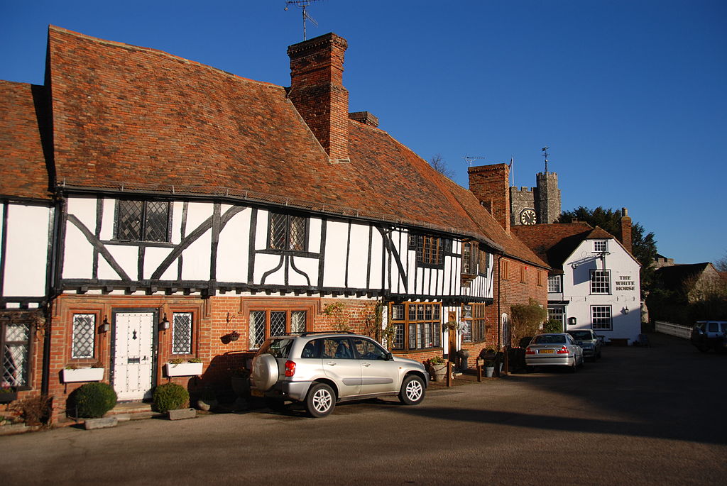 to reach Canterbury.The Pilgrims' Way (also Pilgrim's Way or Pilgrims Way is the historical route supposed to have been taken by pilgrims from Winchester in Hampshire,
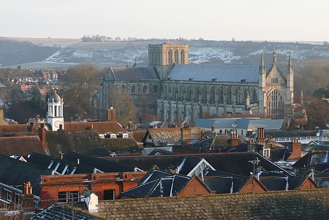 England, to the shrine of Thomas Becket at Canterbury in Kent. This name, of comparatively recent coinage, follows closely a pre-existing ancient trackway dated by archaeological finds to 500–450 BC, but has probably been in existence since the stone age.
The prehistoric route followed the "natural causeway" east to west on the southern slopes of the North Downs.

The prehistoric trackway extended further than the present Way, providing a link from the narrowest part of the English Channel to the important religious complexes of Avebury and Stonehenge, in Wiltshire, where it is known as the Harroway.
  The route was still followed as an artery for through traffic in Roman times, a period of continuous use of more than 3000 years.
From Thomas Becket's canonization in 1173 until the dissolution of the monasteries in 1538 his shrine at Canterbury became the most important in the country, indeed "after Rome...the chief shrine in Christendom", and it drew pilgrims from far and wide. Winchester, apart from being an ecclesiastical centre in its own right (the shrine of St Swithin), was an important regional focus and an aggregation point for travellers arriving through the seaports on the south
  coast.
Travellers from Winchester to Canterbury naturally used the ancient way, as it was the direct route, and research by local historians has provided much by way of detail—sometimes embellished—of the pilgrims' journeys. The numbers making their way to Canterbury by this route were not recorded, but the estimate by the Kentish historian William Coles Finch that it carried more than 100,000 pilgrims a year is surely an exaggeration.
A separate (and more reliably attested) route to Canterbury was by way of Watling Street from London, as followed by the storytellers in The Canterbury Tales by Geoffrey Chaucer.
was an important regional focus and an aggregation point for travellers arriving through the seaports on the south coast.Travellers from Winchester to Canterbury naturally used the ancient way, as it was the direct route, and research by local historians has provided much by way of detail—sometimes embellished—of the pilgrims' journeys. The numbers making their way to Canterbury by this route were not recorded, but the estimate by the Kentish historian William Coles Finch that it carried more than 100,000 pilgrims a year is surely an exaggeration.
A separate (and more reliably attested) route to Canterbury was by way of Watling Street
from London, as followed by the storytellers in The Canterbury Tales by Geoffrey Chaucer.
Indeed, the concept of a single route called the Pilgrims' Way seems to be no older than the Victorian Ordnance Survey map of Surrey, whose surveyor, Edward Renouard James, published a pamphlet in 1871 entitled Notes on the Pilgrims' Way in West Surrey. Here he asserted that the route was "little studied" and that "very many persons in the neighbourhood" had not been aware of it.
His insertion of the route name on the Ordnance map gave an official sanction to his conjecture; and writers such as Hilaire Belloc were eager to follow it up. In fact, the route as shown on modern maps is not only unsuitable for the mass movement of travellers but has also left few traces of their activity.
The official history of the Ordnance Survey acknowledges the "enduring archaeological blunder", blaming the enthusiasm for history of the then Director, General Sir Henry James.
Together, romantically inclined authors have succeeded in creating "a fable of...modern origin" to explain the existence of the Way.
His insertion of the route name on the Ordnance map gave an official sanction to his conjecture; and writers such as Hilaire Belloc
were eager to follow it up. In fact, the route as shown on modern maps is not only unsuitable for the mass movement of travellers but has also left few traces of their activity.The official history of the Ordnance Survey acknowledges the "enduring archaeological blunder", blaming the enthusiasm for history of the then Director, General Sir Henry James.
Together, romantically inclined authors have succeeded in creating "a fable of...modern origin" to explain the existence of the Way.
The Pilgrims' Way is at the centre of the Powell and Pressburger film A Canterbury Tale, with the camera panning along a map of the route at the start of the film.
Anyone walking the 'Pilgrims Way' from Winchester would have started along the Roman road east following the route through New Alresford , Alton
 and Bentley
 to Farnham. This roughly follows the modern A31.
Anyone walking the 'Pilgrims Way' from Winchester would have started along the Roman road east following the route through New Alresford
, Alton and Bentley to Farnham. This roughly follows the modern A31.
The ancient main streets of towns along the route from Farnham 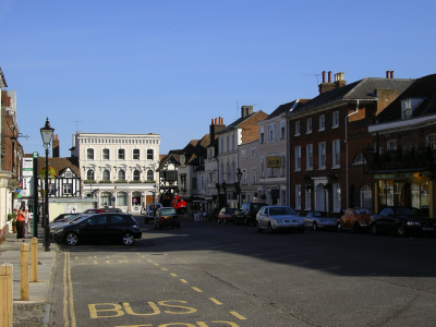 (where the old trackway converges with the pilgrims' route) throughGuildford
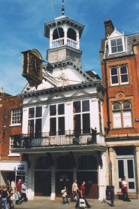 , Dorking
 and Reigate align west to east, strongly suggesting that this was the most important route that passed through them. On modern Ordnance Survey maps, part of the route is shown running east from Farnham via the heights by Guildford Castle,
 then north of the village of Shere,
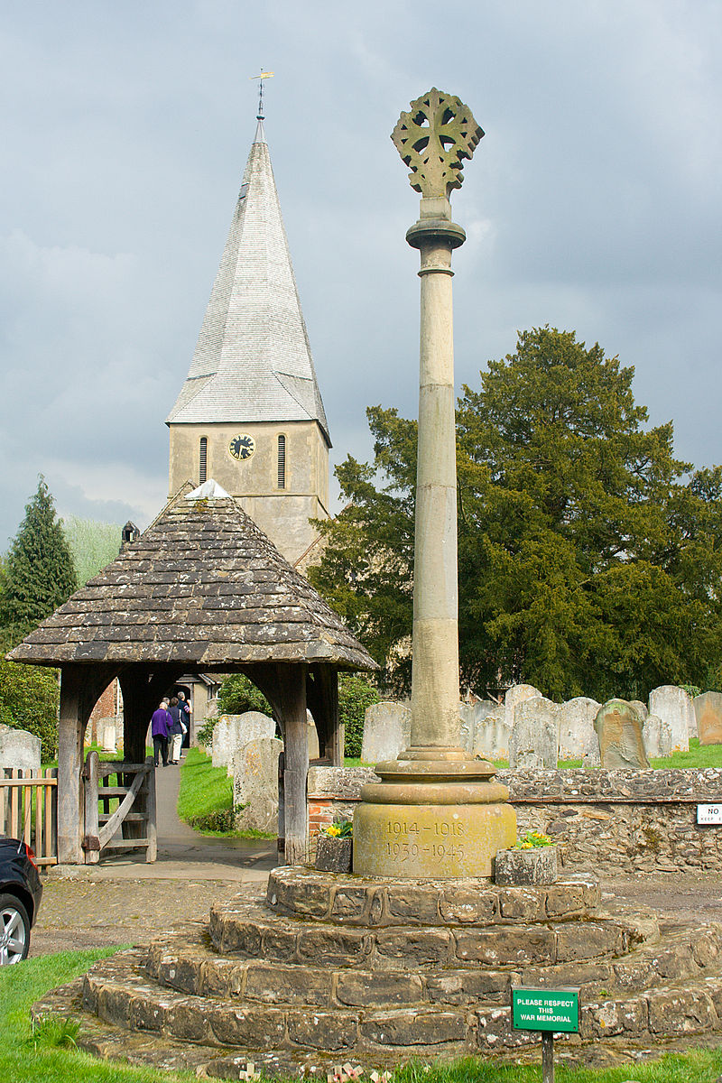 north of Dorking, Reigate,
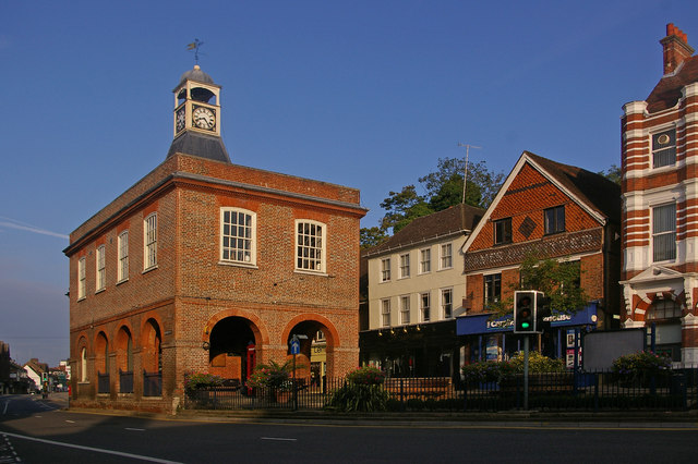 Merstham,
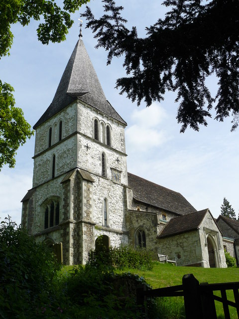 Chaldon,
 Godstone, Limpsfield and Westerham,
  through Otford,
 Kemsing
 and Wrotham,
 north of Trottiscliffe
 , towards Cuxton (where it crossed the River Medway). Along some stretches the pilgrims' route left the ancient trackway to encompass religious sites, an example being at Pewley Down, near Guildford, where the later way passed St Martha's Hill
 and The Chantries, some 500 metres to the south.
At Reigate the thirteenth-century chapel of St Thomas and a hospice were built for the pilgrims' use, although they were not on the route.
South of Rochester, the Pilgrims' Way travels through the villages of Burham, Boxley, Detling and continuing in a south-east direction to the north of the villages of Harrietsham and Lenham. The route continues south-east along the top of the Downs past Charing, to Wye and then turns north to follow the valley of the Great Stour throughChilham and on to Canterbury.
(where the old trackway converges with the pilgrims' route) throughGuildford, Dorking and Reigate align west to east, strongly suggesting that this was the most important route that passed through them. On modern Ordnance Survey maps, part of the route is shown running east from Farnham via the heights by Guildford Castle, then north of the village of Shere, north of Dorking, Reigate, Merstham, Chaldon, Godstone, Limpsfield and Westerham, through Otford, Kemsingand Wrotham, north of Trottiscliffe, towards Cuxton (where it crossed the River Medway). Along some stretches the pilgrims' route left the ancient trackway to encompass religious sites, an example being at Pewley Down, near Guildford, where the later way passed St Martha's Hill and The Chantries, some 500 metres to the south.At Reigate the thirteenth-century chapel of St Thomas and a hospice were built for the pilgrims' use, although they were not on the route.
South of Rochester, the Pilgrims' Way travels through the villages of Burham, Boxley, Detling and continuing in a south-east direction to the north of the villages of Harrietsham and Lenham.
The route continues south-east along the top of the Downs past Charing, to Wye and then turns north to follow the valley of the Great Stour throughChilham and on to Canterbury.
The North Downs Way National Trail parallels the old Pilgrims' Way between Farnham and Canterbury. Much of the traditional route of the Pilgrims' Way is now part of the modern road network and the Ramblers has previously advised walkers wishing to follow it to use St. Swithuns Way between Winchester and Farnham and the North Downs Way 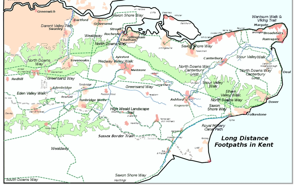 between Farnham and Canterbury as an alternative.
between Farnham and Canterbury as an alternative.
The route also links with the South Downs Way at Winchester.
No comments:
Post a Comment